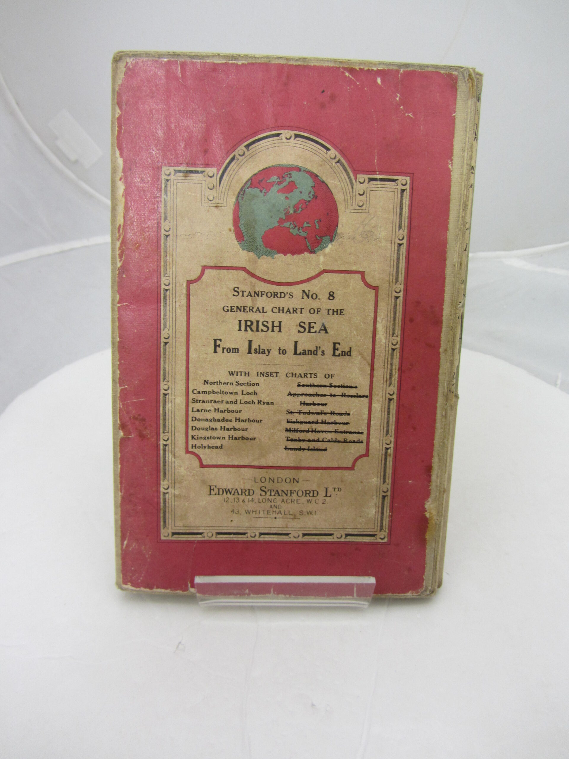
Stanford’s General Chart of the Irish Sea
Book ID: 48068
Price: €95.00
Stanford’s General Chart of the Irish Sea. Including from Islay to Land’s End. (No. 8. Northern Section). Prepared under the supervision of Captain O.M. Watt. The northern Irish Sea from Islay in the north to Wicklow Town in the South. With inset views of Stranraer and Loch Ryan, Larne Harbour, Donaghadee Harbour, Kingstown Harbour, Holyhead and Douglas Harbour. With scales and soundings. Coloured folding, linen backed map, in decorated printed wrapper covers. A used copy but still in good condition.
Out of stock

