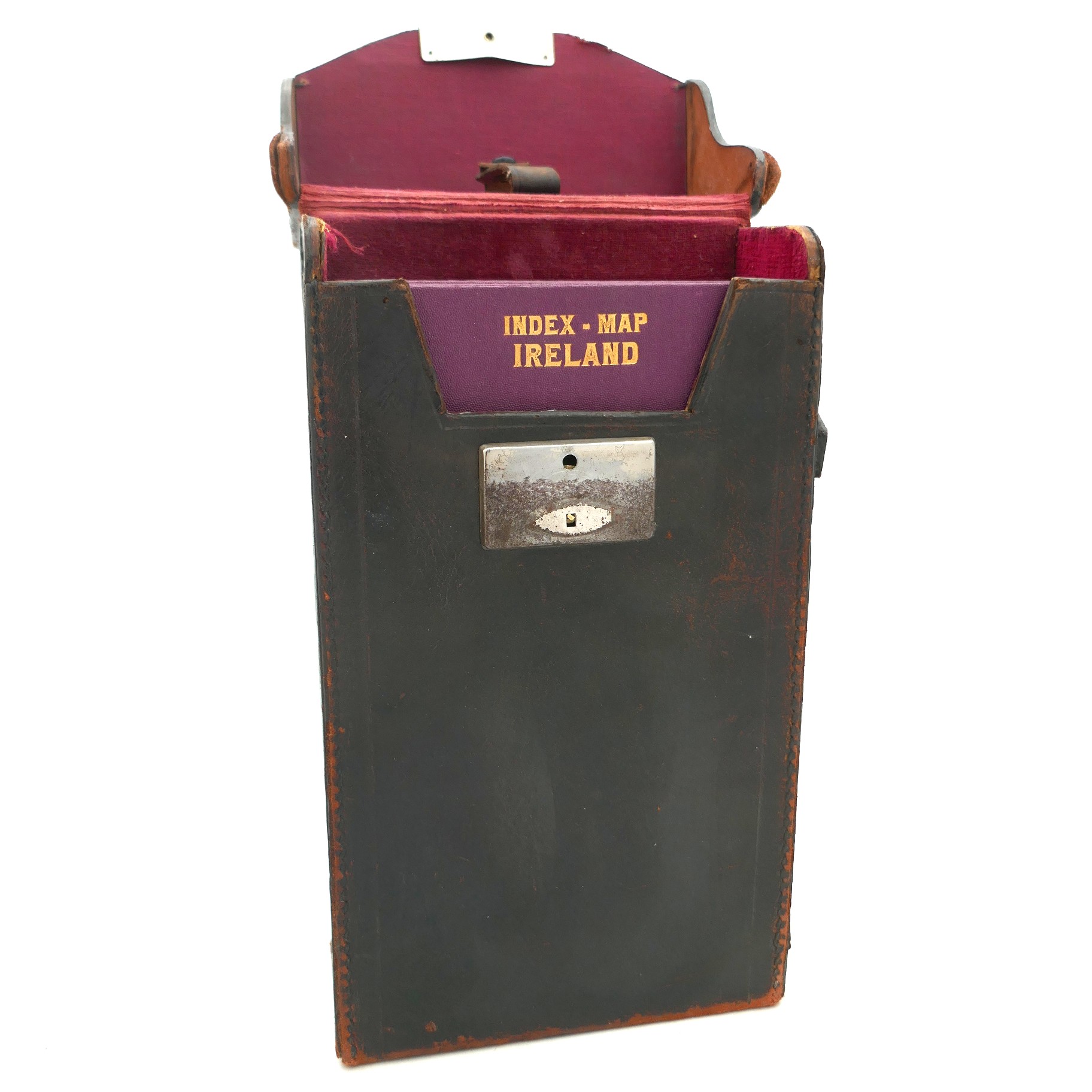
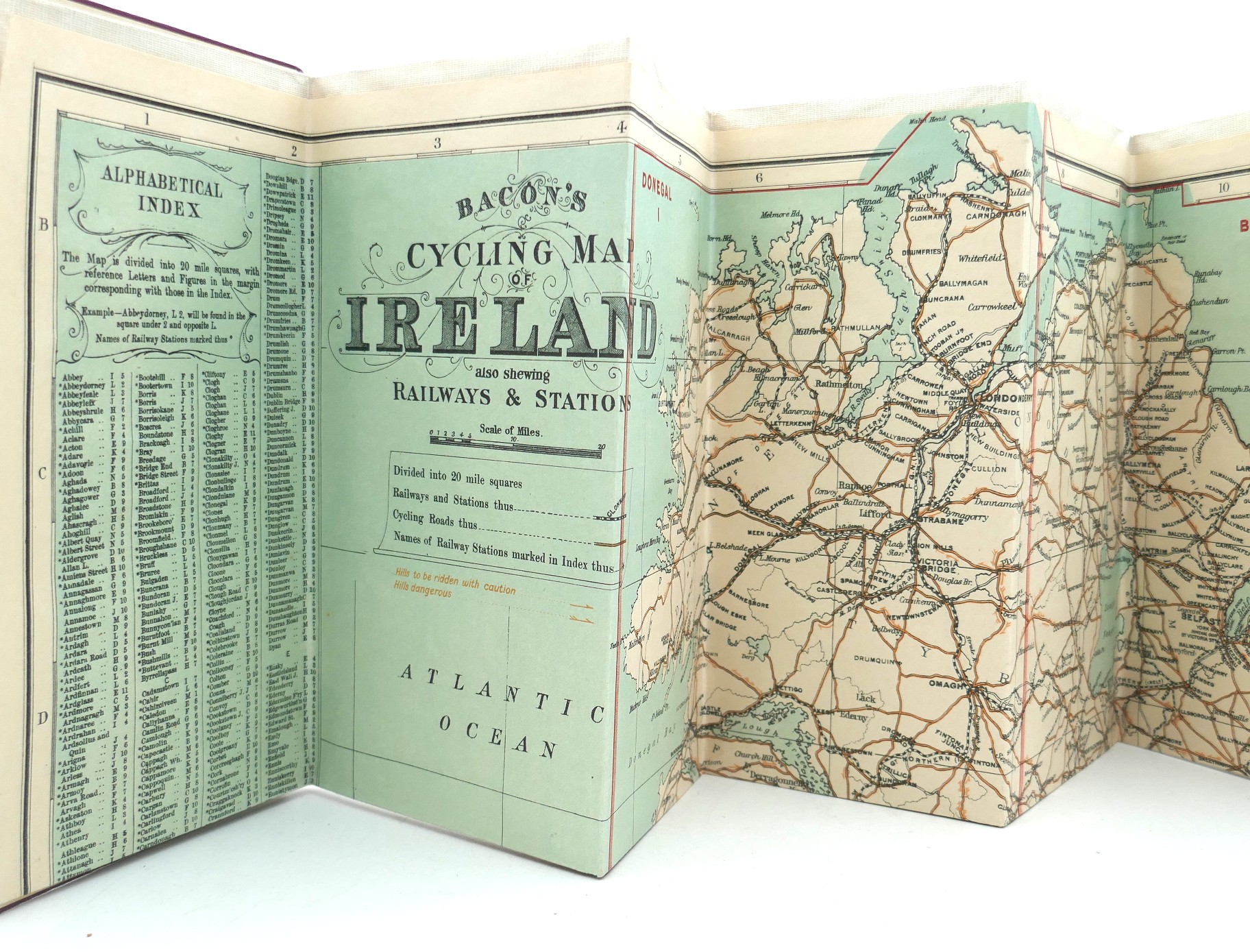
Bacon’s Cycling Map of Ireland. Also Shewing Railways & Stations, etc (1920)
Book ID: 71151
Price: €750.00
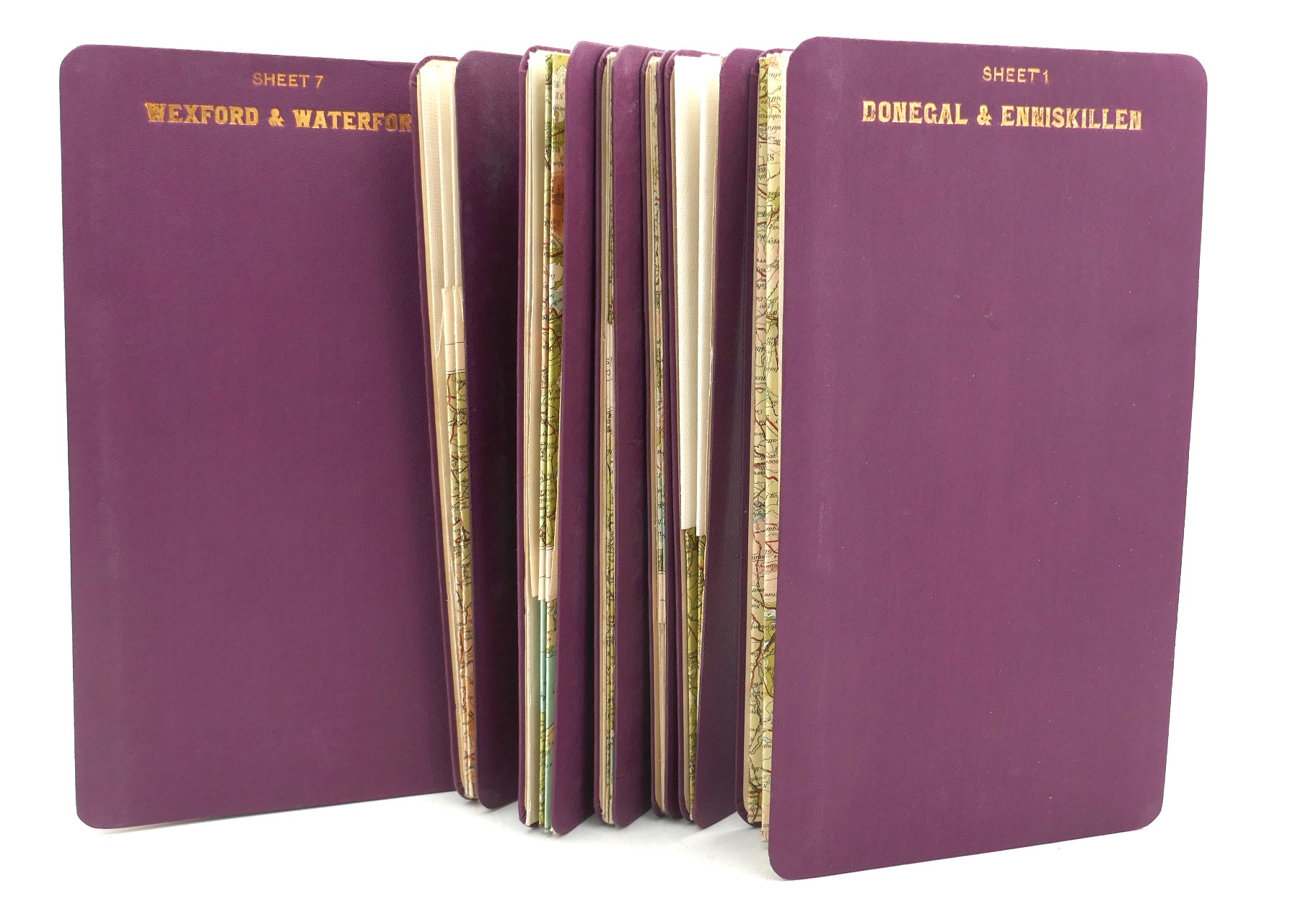
Index Map of Ireland: Bacon’s Cycling Map of Ireland. Also Shewing Railways & Stations. With a further Seven Maps of the Country. Eight folded maps in all, housed in a leather case with cover.
A wonderful set of Irish road maps covering the whole island in 4 miles to 1 inch scale. Complete in seven sheets, plus a Bacon’s Index Map of Ireland (8 maps in total) by John Bartholomew Ltd., c 1920.
No border partition is showing on any of the maps.
A very nice set.
In stock
