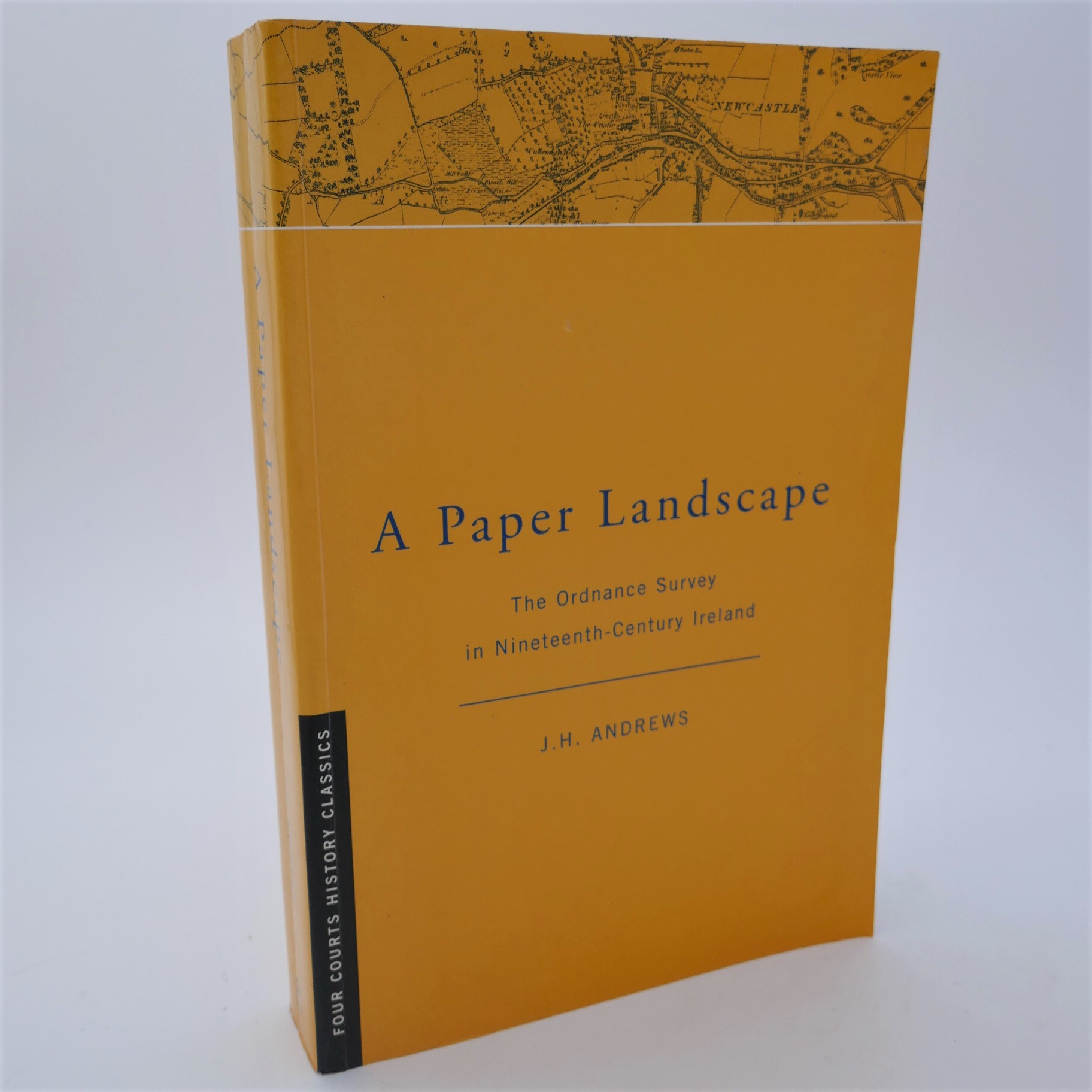
A Paper Landscape. The Ordnance Survey in 19th Century Ireland (2002)
Book ID: 64393
Price: €45.00
A Paper Landscape. The Ordnance Survey in Nineteenth-Century Ireland. Dublin: Four courts, 2002. Second Edition. Pp xxiv, 350. Illustrated with plates. Very good copy in wrappers.
The classic work on the history of the ordnance survey in Ireland, first published in 1975.
For many years after its foundation in 1791, the Ordnance Survey was mainly concerned with making small scale military maps of England. The department had no definite plans for Ireland until 1824, when it was directed to map the whole country (as a prelude to a nationwide valuation of land and buildings) as quickly as possible on the large scale of six inches to the mile. The six-inch maps of Ireland appeared between 1835 and 1846. In the 1850s the production of both smaller and larger scale maps of Ireland was placed on a regular footing. Meanwhile a new and separate chain of events had begun in 1887 with the authorization of cadastral maps of Ireland on the scale of 1/2500. The latter, together with some more recent aspects of Irish Survey history, form the subject of a brief postscript.
Out of stock

