A Topographical Dictionary & Atlas of Ireland (1837)
Book ID: 69484
Price: €650.00
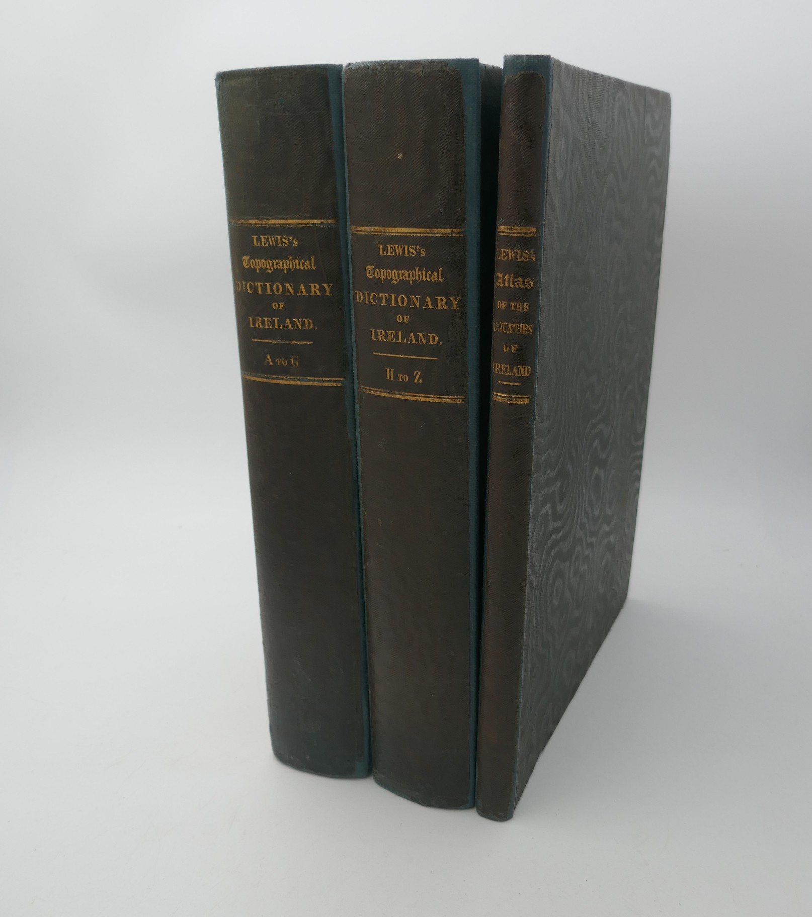
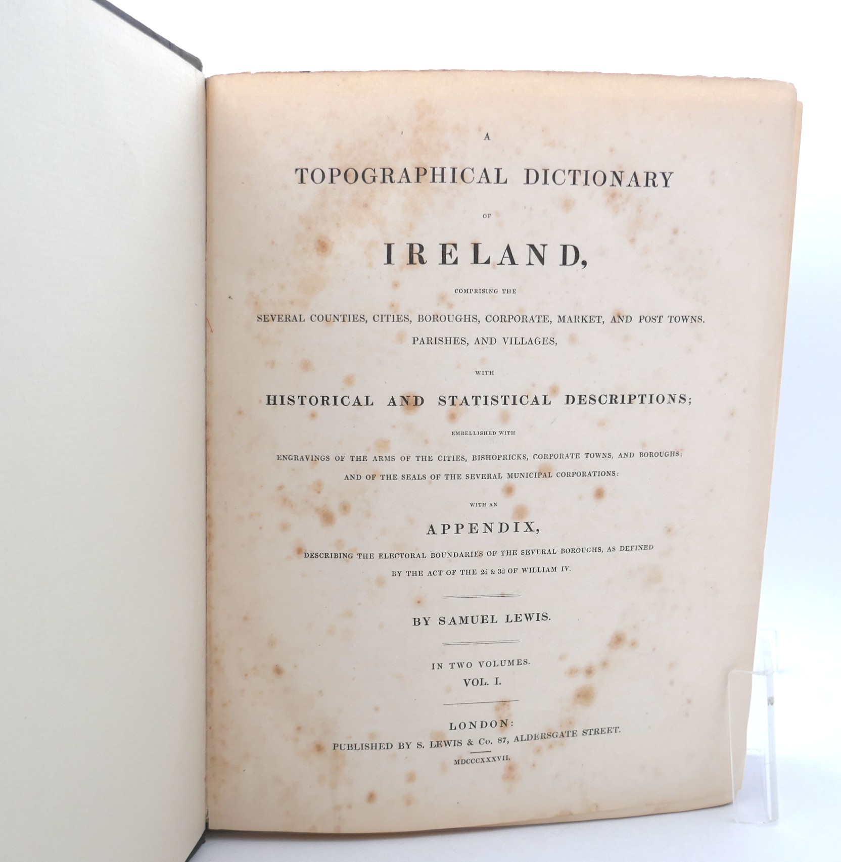
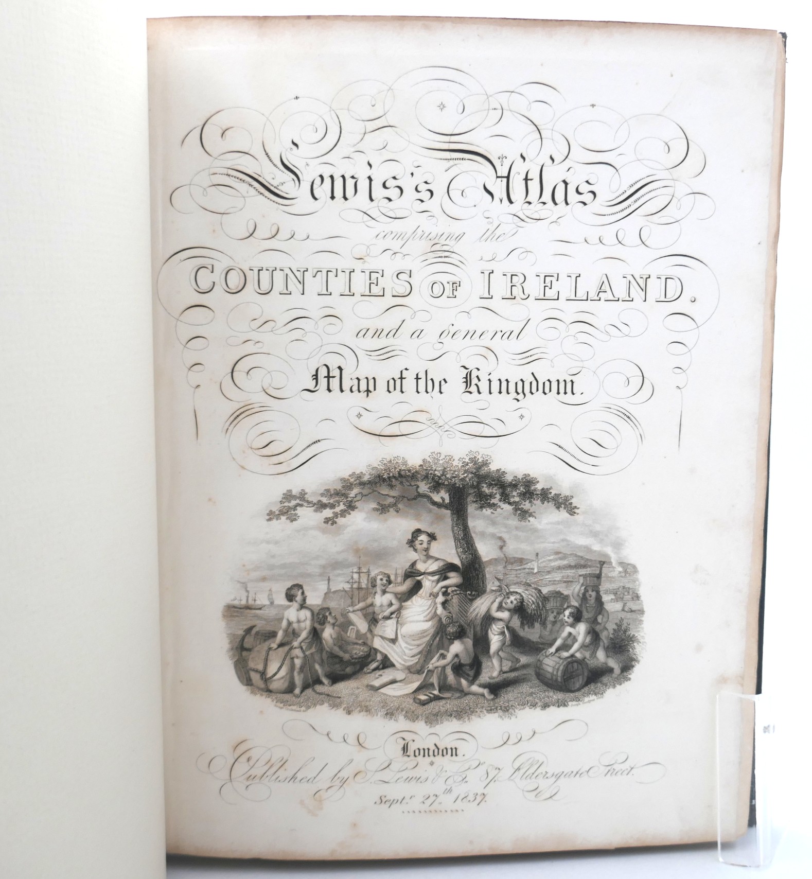
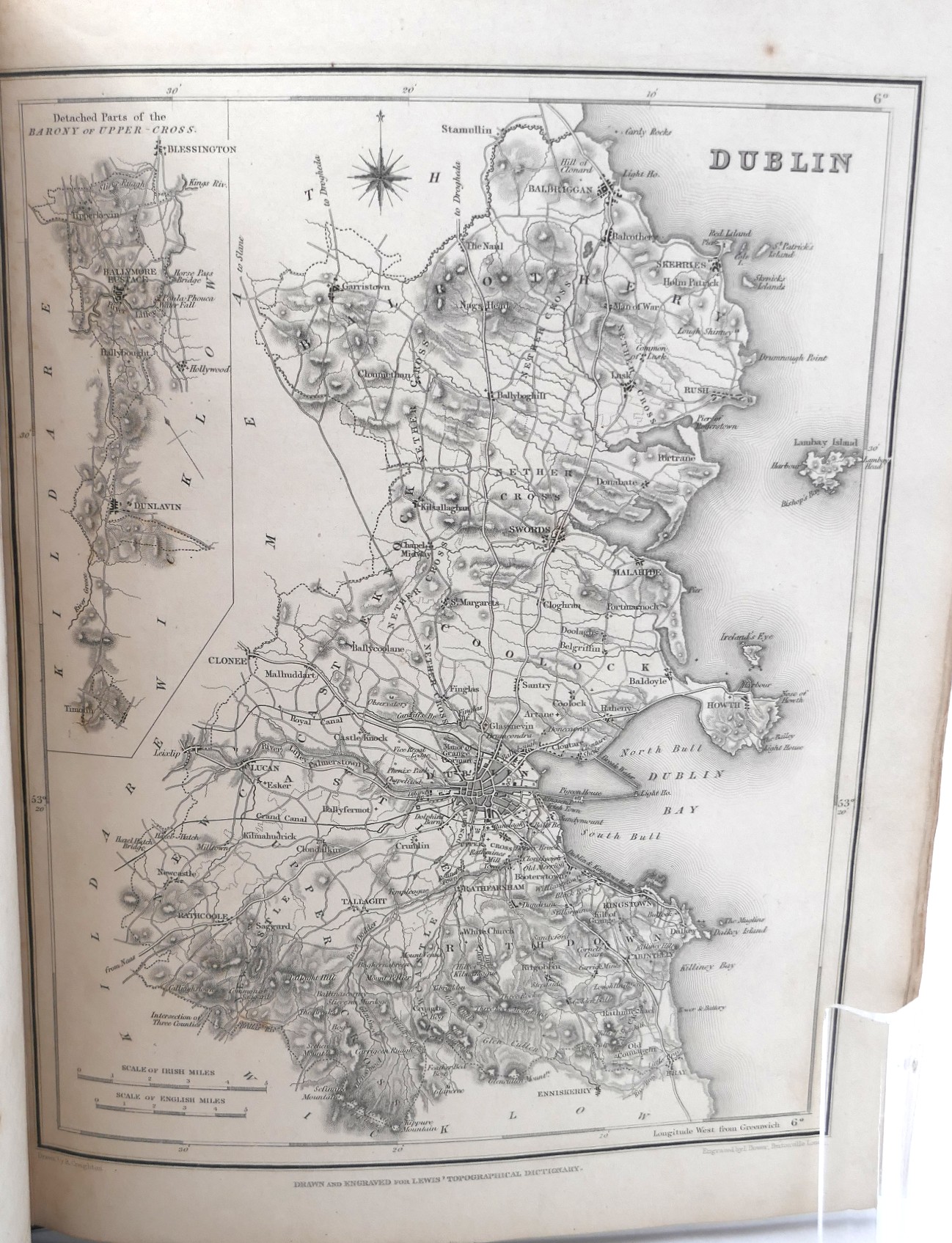
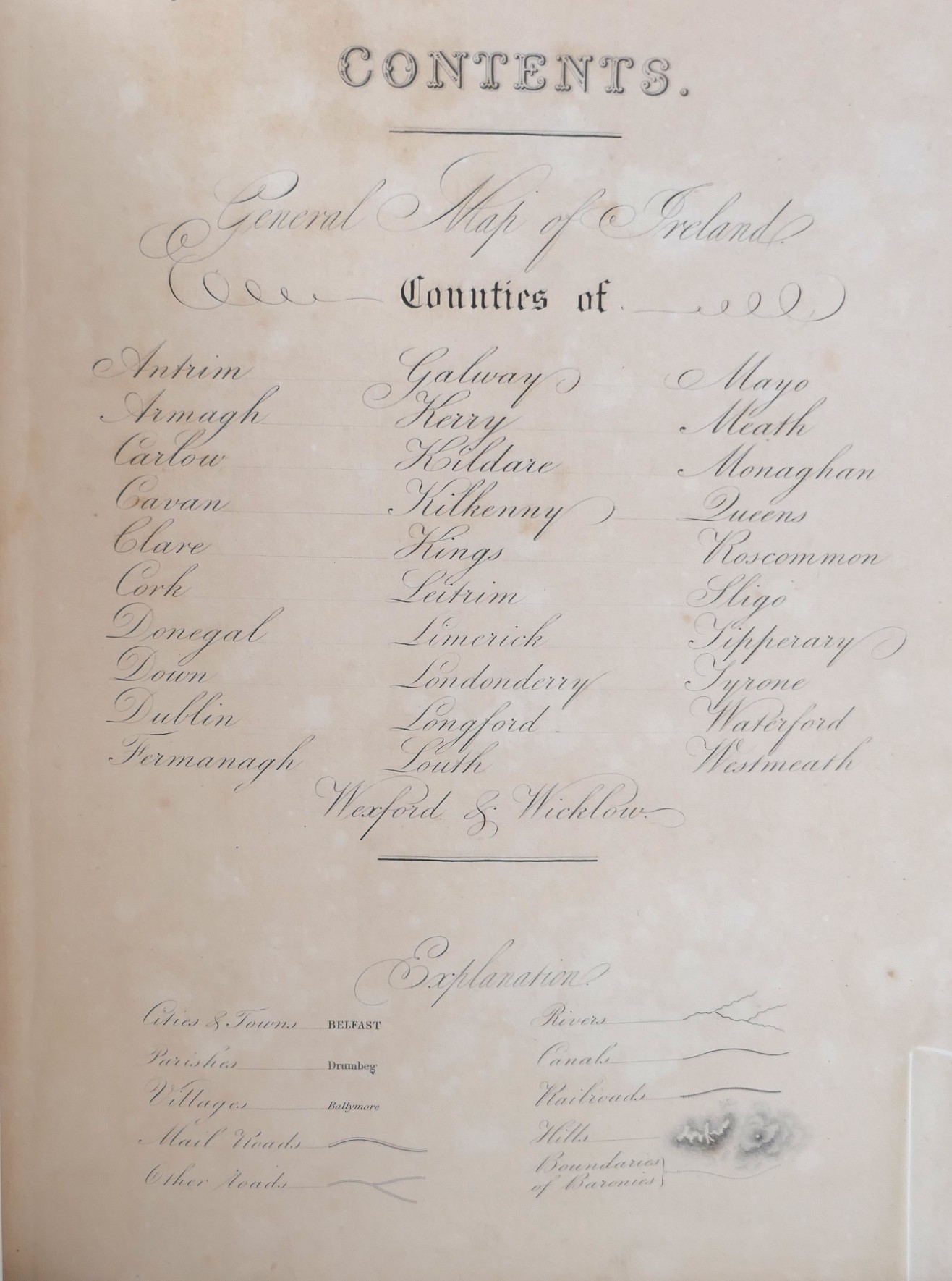
A Topographical Dictionary of Ireland. Containing Several Counties, Cities, Boroughs, Corporate, Market, and Port Towns, Parishes, and Villages, with Historical and Statistical Descriptions. Embellished with Engravings of the Arms of the Cities, Bishopricks, Corporate Towns, and Boroughs; and the Seals of Several Municipal Corporations. With an Appendix, Describing the Electoral Boundaries of the Several Boroughs. Complete with Atlas volume. Three Volumes. London: Lewis, 1837. First Edition. Pp (I) lxvii, 674; (ii) 730. Atlas: Large Map of Ireland + 32 County maps. Publisher’s original cloth boards, rebacked with new endpapers. Scattered foxing to preliminary leaves but overall a handsome set.
First published in 1837 in two volumes, with an accompanying atlas, Lewis’s Dictionary marked a new and significantly higher standard in such accounts of Ireland.
Along with visiting many of the sites in the book, the author sent proof sheets to knowledgeable locals in the area who would be able to add changes that had taken place in the meantime. Some of the entries are short, while others go deeper into history, geography, anecdotes, superstitions, and the life of the people in an area.
The dictionary gives a unique picture of Ireland before the Famine.
Out of stock
