An Hibernian Atlas. Description of the Kingdom of Ireland (1776)
Book ID: 66126
Price: €1,750.00
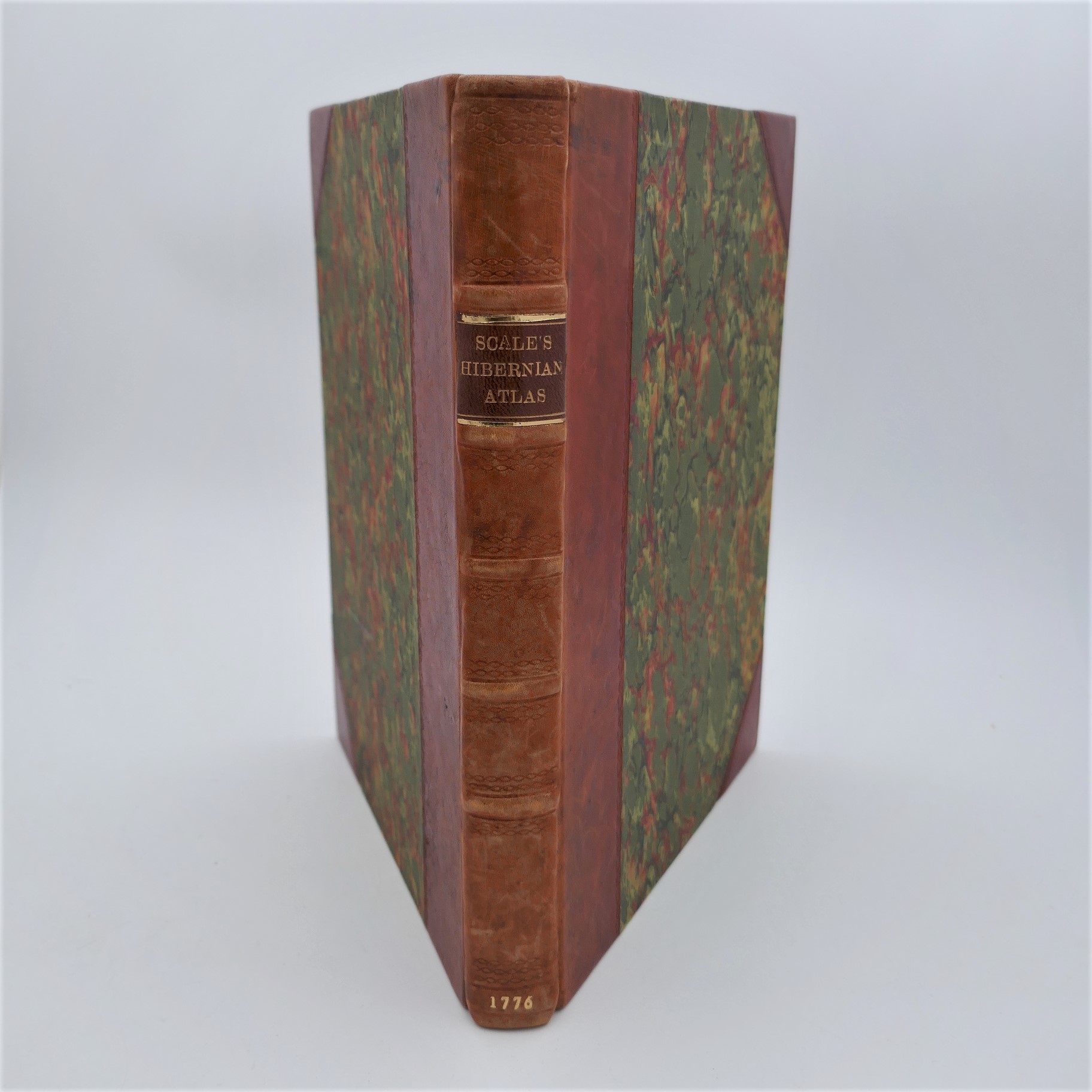
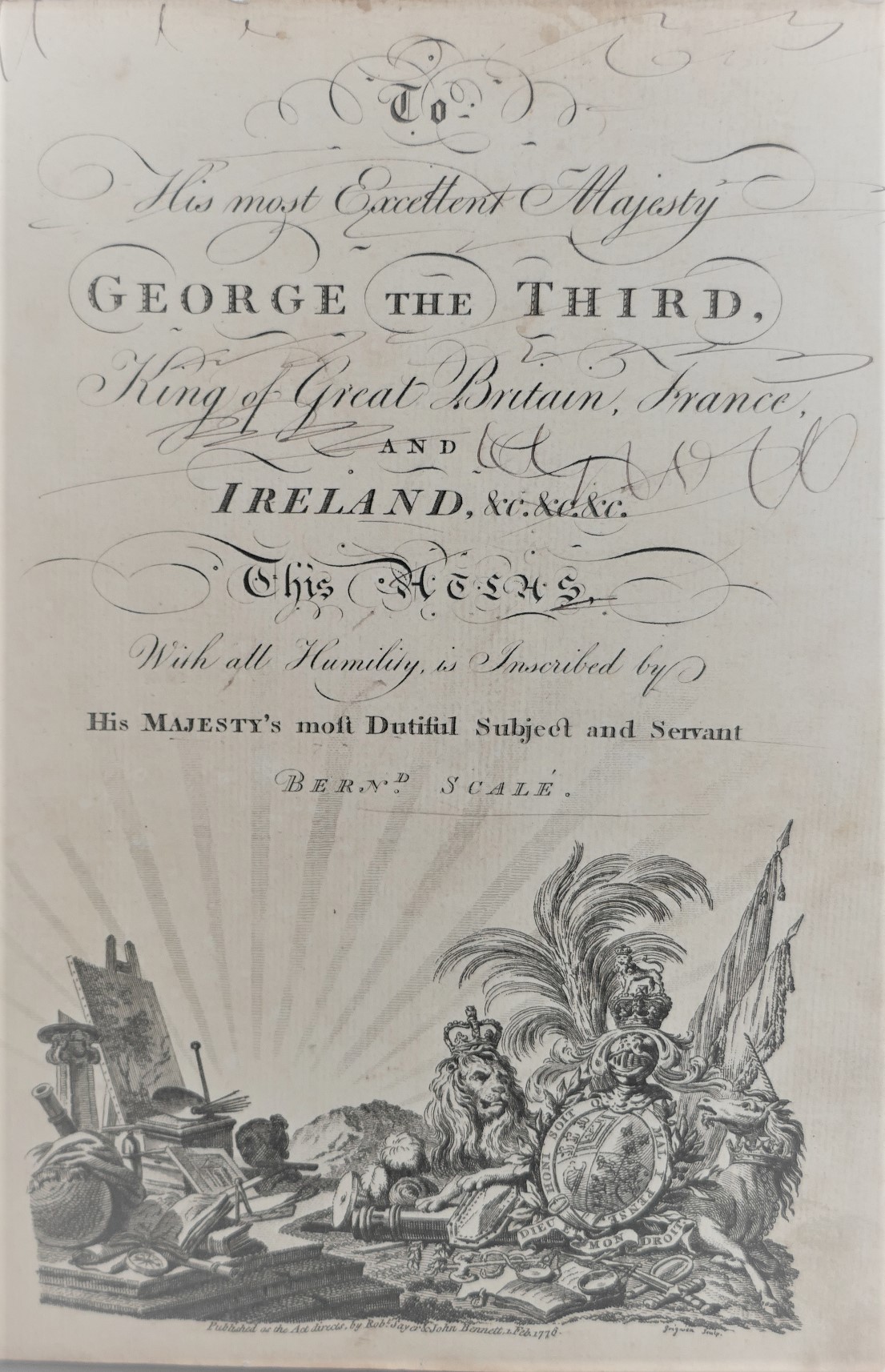
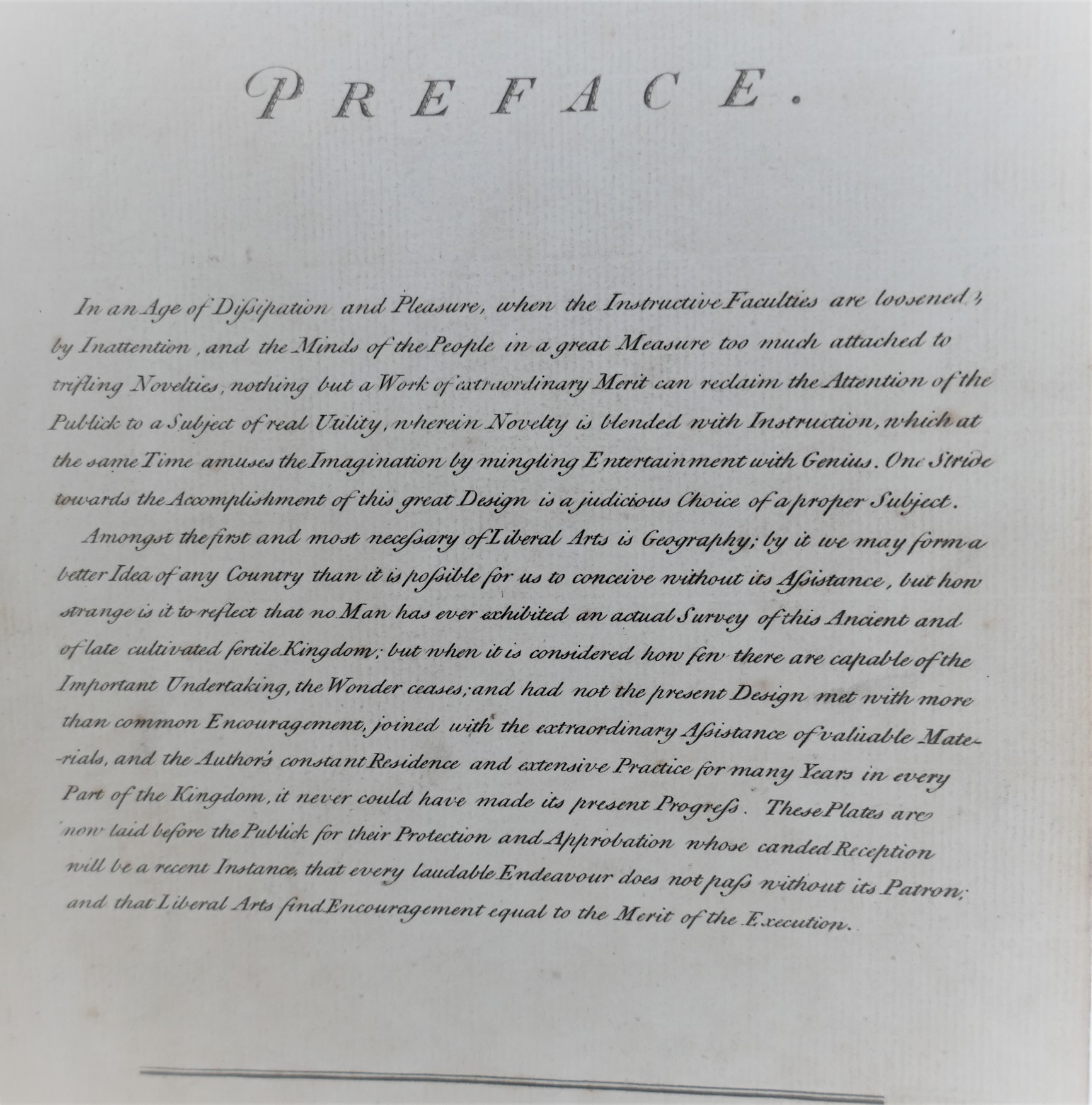
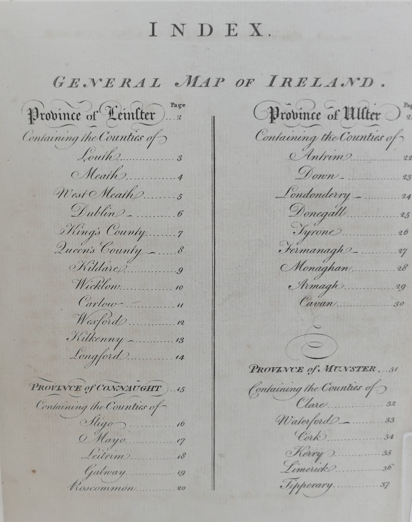
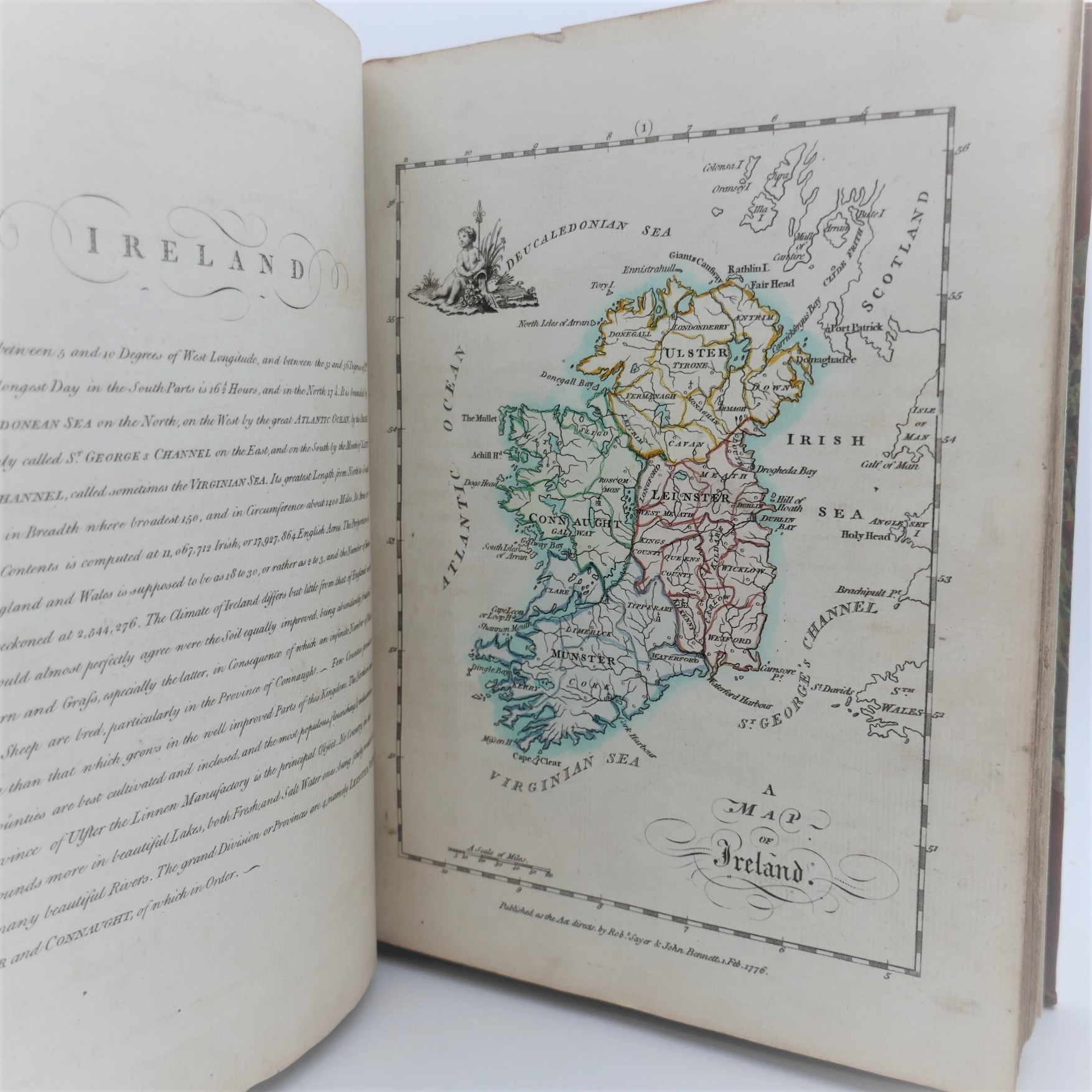
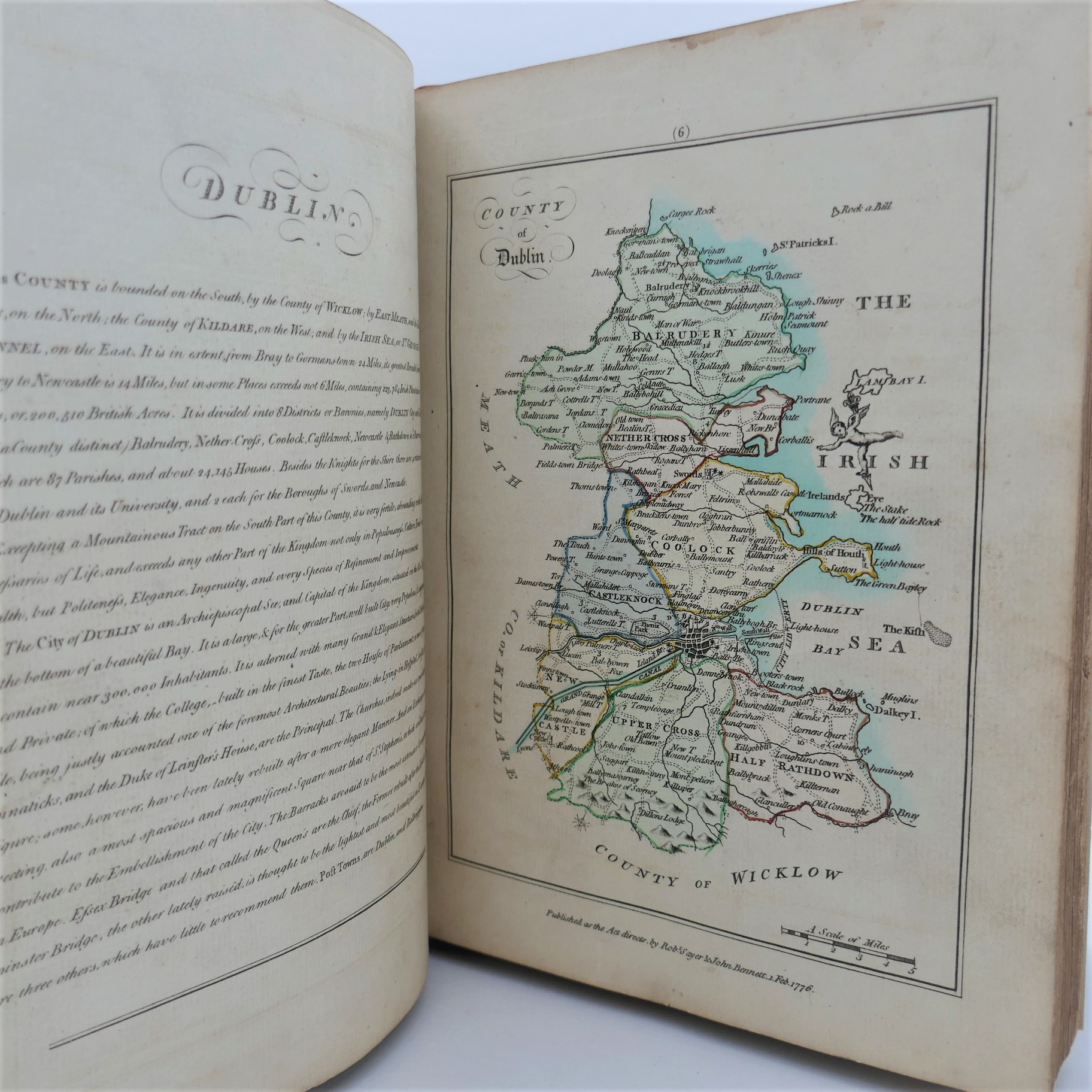
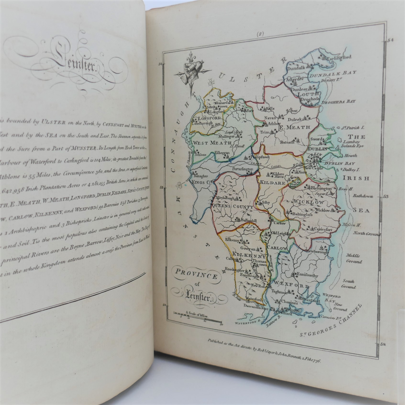
An Hibernian Atlas. Or General Description of the Kingdom of Ireland: Divided into Provinces; with its Sub-Divisions of Counties, Baronies etc. Shewing their Boundaries, Extent, Soil, Produce, Contents, Measure, Members of Parliament, and Number of Inhabitants; also the Cities, Boroughs, Villages, Mountains, Bogs, Lakes, Rivers, and Natural Curiosities. Together with the Great and Bye Post Roads. The whole taken from actual Surveys and Observations by Bernard Scale and Beautifully engraved on 78 Copper Plates by Messrs. Ellis and Palmer. London: Robert Laurie and James Whittle, 1776. First Edition. Handsomely bound in recent half calf, raised bands, morocco title label lettered in gilt. A fine bright copy.
General map of Ireland, the Four Provinces and thirty-two counties beautifully engraved and hand coloured. All the maps are in excellent condition each accompanied by a page of text.
Bernard Scalè was brother-in-law of John Rocque, whom he assisted in the surveys for the Maps of Dublin City and its environs published in 1756. He practiced as a land surveyor in Abbey Street and this work is regarded as his finest work amongst his numerous published maps.
Out of stock
