Taylor and Skinner’s Maps of the Roads of Ireland (1777)
Book ID: 68009
Price: €595.00
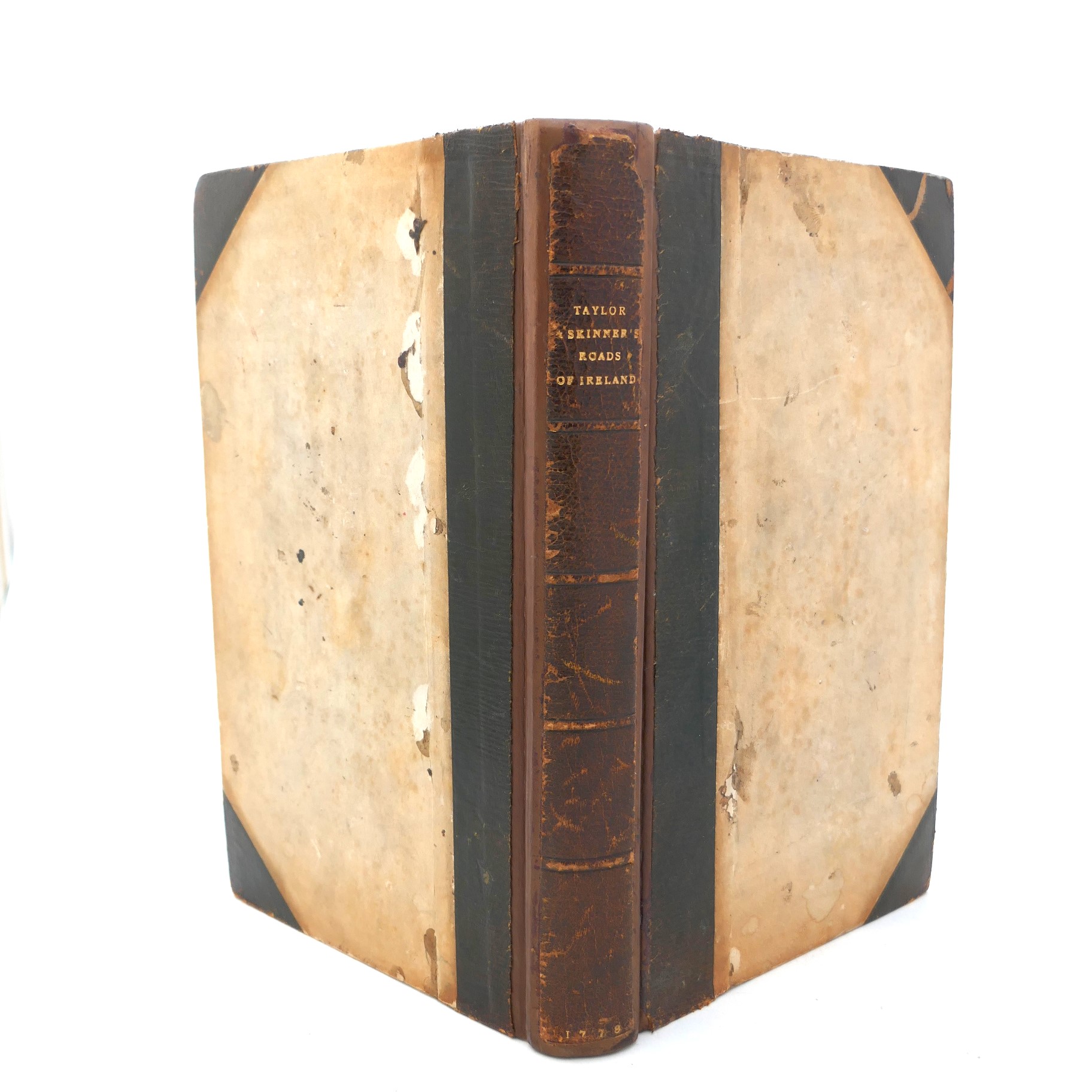
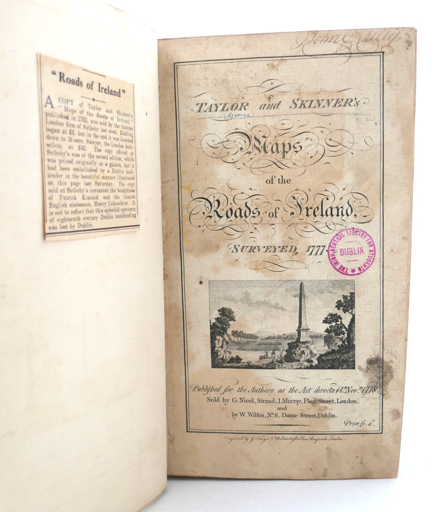
Taylor and Skinner’s Maps of the Roads of Ireland, Surveyed 1777. London: G. Nicol and Dublin: W. Wilson, 1778. First Edition. 288 engraved strip maps on 144 leaves, list of subscribers. Rebound retaining early half morocco binding. Ex library copy, with ink stamps & with occasional label residue to endpapers, tape repair to finial leaf of subscribers page. This copy lacks the frontispiece folding map of Ireland, otherwise complete & generally in very good condition.
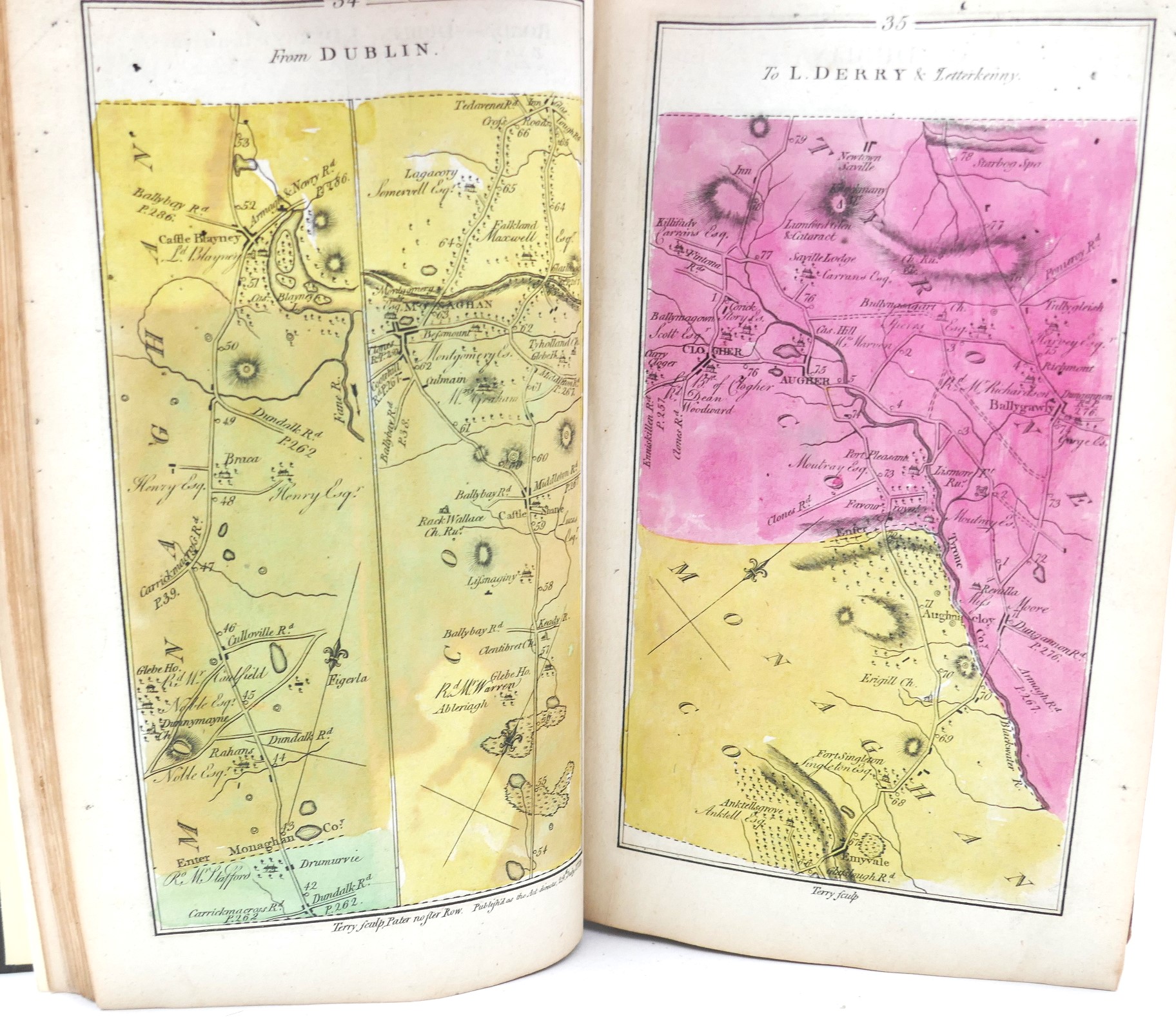
First edition of this handsome atlas produced by Scottish surveyors Taylor and Skinner. The first 59 maps are coloured in by hand.
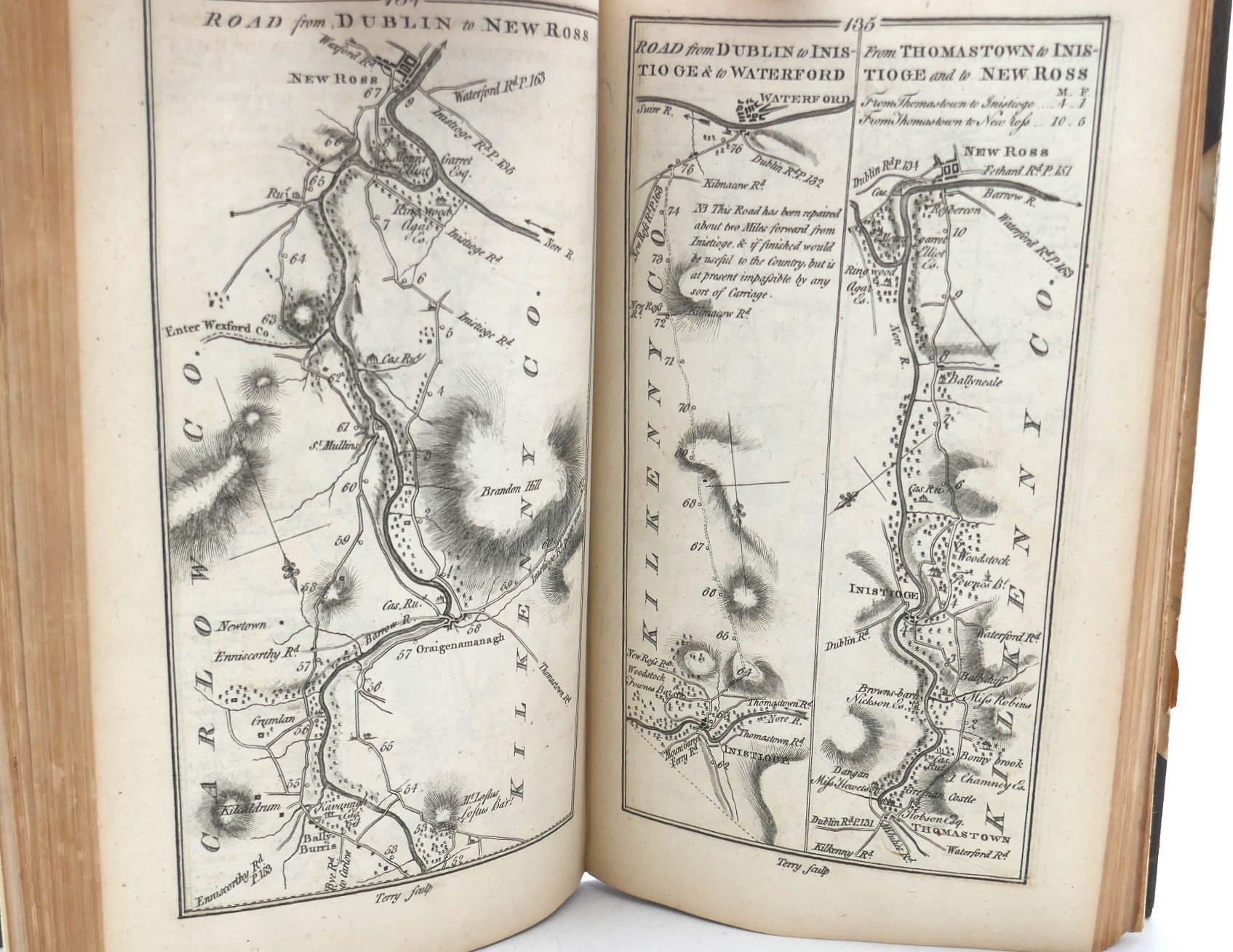
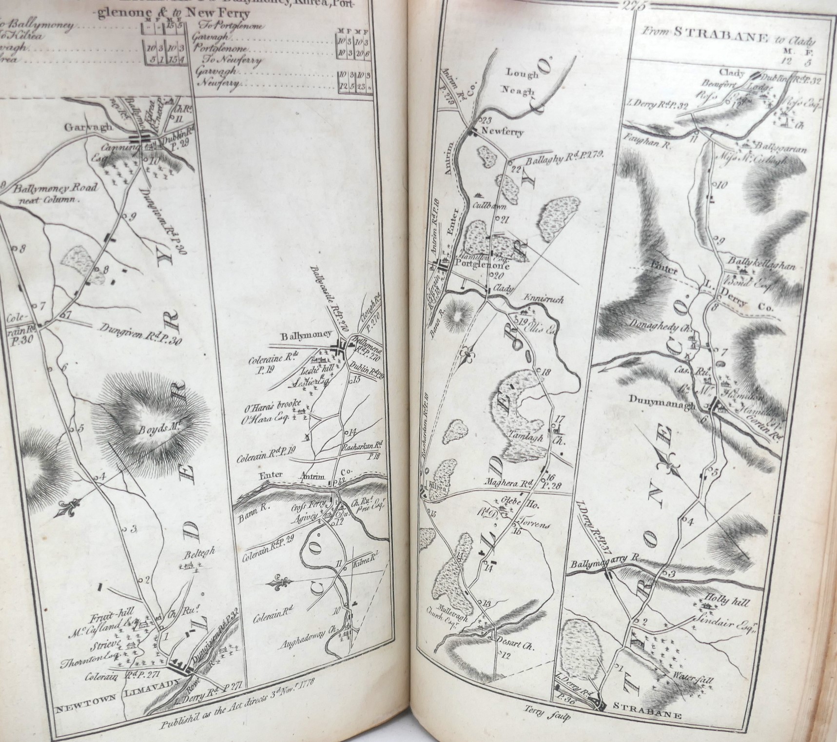
The maps were commissioned by the House of Commons in Ireland, and contain 289 pages of maps, engraved by G. Terry of London. The index for these detailed maps shows distances in English and Irish miles.
The maps themselves show copious topographical details, like forests, hills, farmland, mills, houses, churches, etc. The large houses also give the owners names. The authors felt it necessary to reissue the title quickly to correct deficiencies and a second, revised edition was published in 1783.
Out of stock
